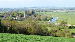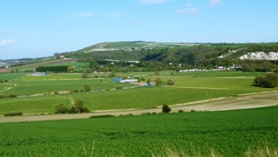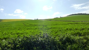


Grid ref: SU786215. Harting Down is managed by the National Trust and within the boundaries of the South Downs National Park.
Harting (pop 1,400) is a parish in the Chichester District, on the northern flank of the South Downs. It comprises of the four villages of Nyewood, South, East and West Harting.
The village of South Harting is the largest settlement, having two churches, and a primary school and village hall.

South Harting village
Beacon Hill To the east of Harting Down, hosted a station in the shutter telegraph chain, from 1796 to 1816, which connected the Admiralty in London to naval ships in Portsmouth and Plymouth. This was replaced in 1822 by a semaphore station. Beacon Hill is home to a hill fort from the Iron Age, built around 500 BC as an animal enclosure and refuge. In addition Cross Ridge Dyke, built around the same time, may have been used to control movement of people and animals along the ridgeway.

Beacon Hill
Harting Down
The four villages are overlooked by a 550 acre common at Harting Down. Rising to 229 metres (751 ft), Harting Down offers panoramic views over the Weald to the north and to the English Channel and the Isle of Wight to the south on a clear day.

Harting Down
Archaeological evidence suggests Harting Down was first occupied around 5,000 years ago. A large portion of the down has never been used for modern intensive farming and is an important site representing the chalk grassland that once covered the South Downs.
Plants found on the site include quaking grass and the common spotted orchid, and the down supports animals such as adders, skylarks and several species of butterfly.

Adder - Vipera berus
The South Downs Way covers Hampshire, West Sussex and East Sussex in England and is part of the South Downs National Park, created in 2011. Along the 100 mile (160km) South Downs National Trail you can walk, cycle or ride along grassy chalk and flint ridges, wander up challenging hills and take in the fantastic views of hills, downlands, woodlands, grasslands, coast and estuaries.
Want more of the Downs?
See  videos
We would like everyone to contribute to our research to help us make mobile interpretation better. Please contribute to the 5 minute online questionnaire about your experience of using your mobile.
See www.itsinconservation.co.uk for more details.
© 2012 ITiC Heritage Consultants. All rights reserved