


Grid ref: SU927175
Graffham parish on the northern escarpment of the South Downs is made up of the village of Graffham and the hamlet of Selham.
The village of Graffham contains a recreation ground and the Anglican parish church of St Giles, which was largely rebuilt between 1874 and 1887
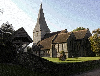
Graffham Village Church - St Giles
In the 1861 census the parish covered 1,600 acres and had a population of 410, with Selham a separate parish covering 1,000 acres and a population of just 123. In the 2001 census the parish has hardly changed, with a total population of 510 and a local primary school.

Graffham Village School 1927
Graffham also has a local village store that caters nicely to hungry and thirsty walkers and cyclists!
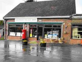
Graffham Village Store
There are two pubs in the village - The White Horse, where the main attraction is the fabulous view of the Downs from the conservatory and garden. The Forester's Arms is a 17th Century Grade II listed building, a friendly pub with open fires for the winter and a secluded garden for the summer. They have a good selection of real ale and high quality yet unpretentious food and also have rooms - ideal if you fancy staying over when walking the South Downs (01798 867202).
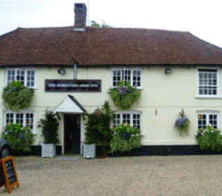
The Forester's Arms, Graffham
Grid ref: SU9116
The beauty of Graffham Down is its peaceful nature, being well away from any major roads. The down is managed by the Graffham Down Trust, which is trying to re-establish a mixed environment of grassland connected by wildlife corridors of woodland and scrub on around 10 acres of downland.
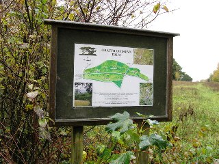
Graffham Down Trust
Graffham Down also includes a bronze age burial ground. In fact all along the crest of the Downs are numerous burial mounds or tumuli. Most are in the region of 4,000 to 4,500 years old and are often overgrown, but surprisingly well preserved as grassy humps in the Downs landscape. You are quite high up here, over 210 metres throughout, but it doesn't seem that way as you have few points of reference to remind you that you are on top of West Sussex.
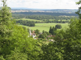
Graffham Down Views
The South Downs Way covers Hampshire, West Sussex and East Sussex in England and is part of the South Downs National Park, created in 2011. Along the 100 mile (160km) South Downs National Trail you can walk, cycle or ride along grassy chalk and flint ridges, wander up challenging hills and take in the fantastic views of hills, downlands, woodlands, grasslands, coast and estuaries.
Want more of the Downs?
See  videos
We would like everyone to contribute to our research to help us make mobile interpretation better. Please contribute to the 5 minute online questionnaire about your experience of using your mobile.
See www.itsinconservation.co.uk for more details.
© 2012 ITiC Heritage Consultants. All rights reserved